This work starts life 16 years ago after a dozen large school maps thrown out by the local school were then rescued, renovated, re-stretched on canvas and added to a rigid structure.
The original idea was to work on the idea that maps are not objective, neutral graphic representations that endeavour to reflect the real world as accurately as possible.
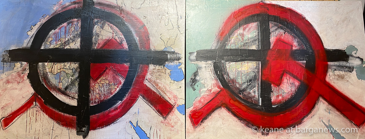
Instead, cartography is governed by rules that are scarcely questioned. Formalisms such as simplifying, distorting, secrecy, centralising and hierarchising have always been determining factors in cartographic praxis.
Maps have always been instrument of power. They have always been a significant instrument of government and domination. In antiquity, in the Middle Ages, and in the Modern age alike, rulers have used maps to further their political agenda and to enforce their sovereign power.
Knowledge is inseparable from power, and therefore we can interpret maps as social products that not only reflect social power structures, but also reproduce and consolidate these structures.
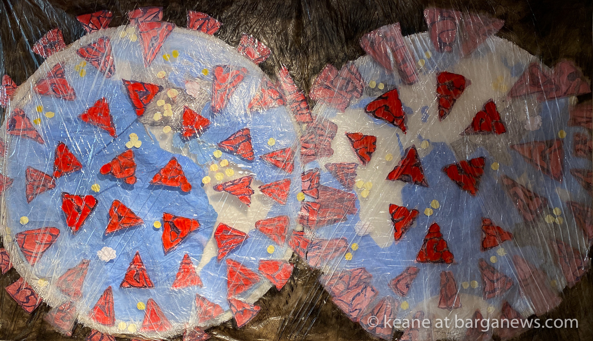
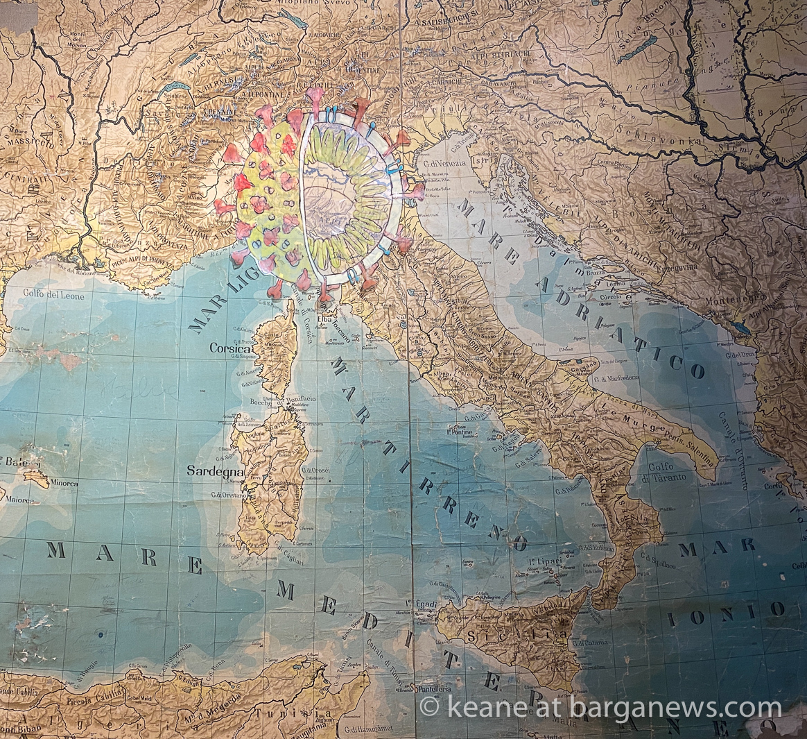
The arrival of the Corona virus changed the direction of the work as world and national maps started to appear daily in the media showing the progress of the virus around the planet.
 |
 |
 |
 |